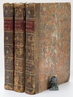
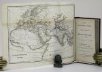
Encyclopaedia Britannica. Three Plates Volumes with 460 Plates. Volumes 1, 3 & 4 (including the Plates issued as a Supplement in 1801-03.
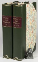
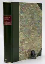
Third Edition & Supplement to 3rd Edition. Three volumes of four. [Edinburgh], [Privately published by Andrew Bell, Archibald Constable & Colin Macfarquhar], [1788 – 1803]. c. 26 x 20 cm. Vol.1: Plates 1 – 161 / Vol. 3: Plates 292 – 446 / Vol. 4: Plates 447 – 542 and 1 – 50. See comments below for noted ‘anomalies’. Contemporary half calf over marbled boards. Red spine labels with gilt title. Gilt decorations and volume numbers in gilt. Very good condition. Bindings rubbed and bumped with wear to spine and ends and corners (see images). Edges age darkened. Joints cracked, but bindings remain sound. Spine leather dried and cracked. Internally dust dulled, but generally clean. A few closed tears and some edge wear to some plates. Overall a very nice collection of more than 450 plates. See images.
EUR 1.500,-- Order

