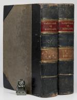
The Imperial Gazetteer of Scotland; or Dictionary of Scottish Topography. Compiled from the most recent Authorities. And forming a complete Body of Scottish Geography. Physical, Statistical, and Historical. Illustrated with a complete County Atlas, various chorographical Maps, Plans of Ports, Harbours, and interesting Views.
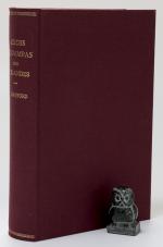
Two Volumes – Complete. London and Edinburgh, A. Fullarton & Co., ND (c. 1860). 25 x 16.5 cm. Vol.1: lxviii, 816 pages / Vol.2: 872 pages. Both volumes with coloured maps, and B&W plates. Volume 1 with a large folding map of Scotland (repaired in the back). Contemporary half calf over cloth covered boards. Marbled edges. Gilt and blind decorations. Spine labels. Very good condition. Binding rubbed and bumped. Edges and end papers dust dulled. folding map with long closed tear, which has been repaired in the back. Internally bright and clean. A very nice copy with interesting Maps and Plates. See images.
EUR 260,-- Order

