The History of the County of Mayo to the Close of the Sixteenth Century.
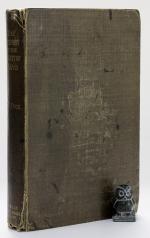
First Edition. Dublin, Hodges, Figgis & Co., 1908. 24 x 15 cm. xvi, (2), 451 pages. With two Plates and two small Maps. Missing the large Map of County Mayo at the end of the book. Original brown cloth. Hard cover with gilt title on spine. Good condition only, due to lack of large map. Binding worn, frayed edges. Joints and hinges started to crack (see images). The book is full of annotations and underlining (see images). A very good reading copy or candidate for rebinding.
EUR 320,-- Order


